Time | Feb 28th, 2025- MST time (UTC/GMT -7 hours) in Tucson, AZ |
---|---|
1:00-1:05 | Opening remarks |
1:05-1:35 | Keynote 1 (30 min with Q&A) |
1:35-2:35 | Lightning Talks (7x 7 min per Full Paper, 2x 5 min per Short Paper) |
– 7x 7 min per Full Paper | |
– 2x 5 min per Short Paper | |
2:35-3:05 | Keynote 2 (30 min with Q&A) |
3:05-4:00 | Poster Session + Coffee Break (55min) |
4:00-4:50 | Discussion Panel (10min intro + 40min discussion) |
4:50-5:00 | Closing remarks |
List of accepted papers
Adaptive Structure-Aware Connectivity-Preserving Loss for Improved Road Segmentation in Remote Sensing Images (Poster #60) |
Sara Shojaei (University of Missouri-Columbia), Trevor Bohl (University of Missouri-Columbia), Kannappan Palaniappan (University of Missouri), Filiz Bunyak (University of Missouri-Columbia) |
Interactive Rotated Object Detection for Novel Class Detection in Remotely Sensed Imagery (Poster #61) |
Marvin Burges (Computer Vision Lab TU Wien), Philipe Ambrozio Dias (Oak Ridge National Laboratory), Dalton Lunga (Oak Ridge National Laboratory), Carson Woody (Oak Ridge National Laboratory), Sarah Walters (Oak Ridge National Laboratory) |
EarthView: A Large Scale Remote Sensing Dataset for Self-Supervision (Poster #62) |
Diego Velazquez (Computer Vision Center, Universitat Autonoma de Barcelona), Pau Rodriguez (Apple Research), Sergio Alonso (Satellogic), Josep M. Gonfaus (Satellogic), Jordi Gonzalez (Computer Vision Center, Universitat Autonoma de Barcelona), Gerardo Richarte (Satellogic), Javier Marin (Satellogic Solutions), Yoshua Bengio (Mila – Quebec AI Institute), Alexandre Lacoste (ServiceNow Research) |
Semantic Neural Radiance Fields for Multi-Date Satellite Data (Poster #63) |
Valentin Wagner (Fraunhofer IOSB), Sebastian Bullinger (Fraunhofer IOSB), Christoph Bodensteiner (Fraunhofer IOSB), Michael Arens (Fraunhofer IOSB) |
Location Generalizability of Image-Based Air Quality Models (Poster #64) |
Christian Svinth (Pacific Northwest National Lab), Eleanor Byler (Pacific Northwest National Laboratory), Kirsten Chojnicki (Pacific Northwest National Laboratory) |
FineAir30: Finest-grained Airplanes in High-resolution Satellite Images (Poster #65) |
Murat Osswald (University of the Bundeswehr Munich), Louis Niederloehner (University of the Bundeswehr Munich), Sascha Koejer (University of the Bundeswehr Munich), Tobias Ziedorn (University of the Bundeswehr Munich), Valerio Gulli (European Space Imaging), Michael Mommert (Stuttgart University of Applied Sciences), Helmut Mayer (University of the Bundeswehr Munich) |
Model Compression Meets Resolution Scaling for Efficient Remote Sensing Classification (Poster #66) |
Tushar Shinde (IIT Madras Zanzibar) |
FLAVARS: A Multimodal Foundational Language and Vision Alignment Model for Remote Sensing (Poster #67) – PDF available |
Isaac Corley (University of Texas at San Antonio), Simone Fobi Nsutezo (Microsoft), Anthony Ortiz (Microsoft), Caleb Robinson (Microsoft), Rahul Dodhia (Microsoft), Juan Lavista Ferres (Microsoft), Peyman Najafirad (University of Texas at San Antonio) |
SITS-Extreme: Leveraging Satellite Image Time Series for Accurate Extreme Event Detection (Poster #68) |
Heng Fang (KTH Royal Institute of Technology), Hossein Azizpour (KTH Royal Institute of Technology) |
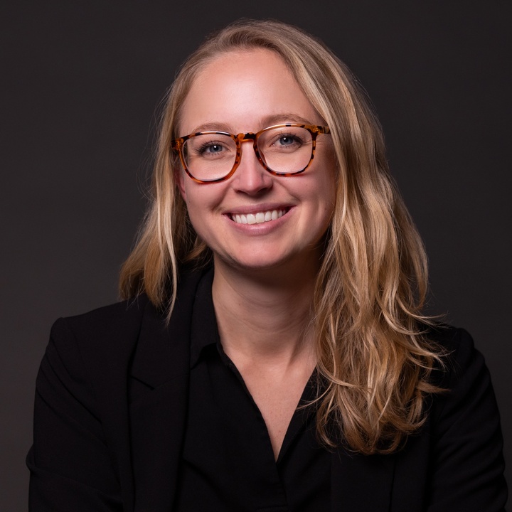
Keynote: Flexible, multi-modal foundation models for satellite Earth observations
Bio: Hannah Kerner is an Assistant Professor in the School of Computing and Augmented Intelligence at Arizona State University. Her research focuses on advancing the foundations and applications of machine learning to foster a more sustainable, responsible, and fair future for all. As the AI Lead for NASA’s agriculture programs, NASA Harvest and NASA Acres, she is deploying research methods in real applications across the globe; her projects have directly resulted in optimized agricultural planning, disaster response, and financial relief in various regions around the world. The impact of Kerner’s research was recognized in Forbes 30 Under 30 and the International Research Centre On Artificial Intelligence’s Top 10 projects solving problems related to the UN’s Sustainable Development Goals with AI.
For more: https://hannah-rae.github.io/
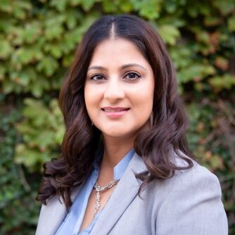
Keynote: The transformative role of geospatial technologies in agriculture: how advanced sensing and AI-driven data analysis are reshaping crop improvement, management and sustainability efforts.
Bio: Dr. Shakoor is an Assistant Member and Principal Investigator at the Donald Danforth Plant Science Center, as well as the co-founder and CEO of Agrela Ecosystems. Nadia’s career has centered on integrating cutting-edge geospatial and phenotyping technologies to advance agricultural practices. At the Danforth Center, she has been a driving force behind several high-impact projects, including the Bill and Melinda Gates-funded Sorghum Genomics Toolbox, which developed genomic and phenotyping tools for sorghum breeding, and the ARPA-E funded TERRA-REF project, deploying the world’s largest field crop analytics robot in Maricopa, Arizona. As the founder of Agrela Ecosystems, Nadia has developed the PheNode, a core sensor platform that gathers critical agricultural data, and leads the USDA-funded FieldDock project, which integrates autonomous drones and wireless sensor networks for enhanced field monitoring. She is also collaborating with the Salk Institute for Biological Studies to leverage geospatial sensing technologies for optimizing carbon capture and sequestration in sorghum. Additionally, Nadia is working with the National Sorghum Producers on their USDA-funded Climate Smart-Commodities program, advancing climate-smart sorghum genetics and field management practices.
For more: https://www.danforthcenter.org/our-work/principal-investigators/nadia-shakoor/
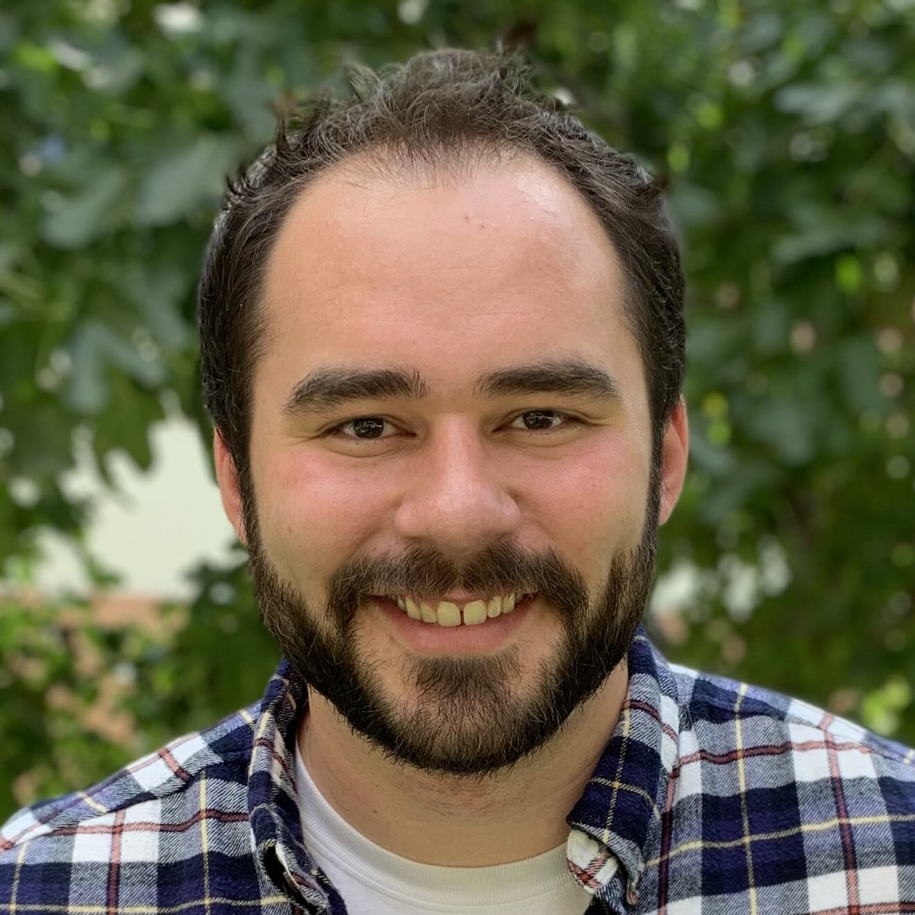
Panel Speaker
Bio: Dr. Robinson is a Principal Research Science Manager in the Microsoft AI for Good Research Lab(opens in new tab). He graduated from the Georgia Institute of Technology with a PhD in 2020 and his work focuses on tackling large scale problems at the intersection of remote sensing and machine learning/computer vision. At the AI for Good Lab he co-leads the Geospatial ML research group(opens in new tab) and is the lead researcher on the Global Renewables Watch(opens in new tab), rapid damage assessment, and global building density estimation teams. Caleb is interested in research topics that facilitate using remotely sensed imagery more effectively in conservation, sustainability, and damage response application. For example: self-supervised methods for training deep learning models with large amounts of unlabeled satellite imagery, human-in-the-loop methods for creating and validating modeled layers, and domain adaptation methods for developing models that can generalize over space and time.
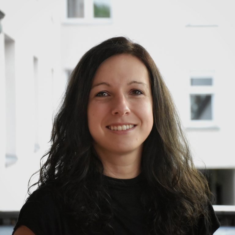
Panel Speaker
Bio: Dr. Roscher is a Professor of Data Science for Crop Systems at the University of Bonn, Germany. She heads the same-titled group at the Institute of Bio- and Geosciences at Forschungszentrum Jülich, Germany. She develops machine learning methods to address challenges in environmental sciences and sustainable agriculture. She specifically focuses on techniques for sophisticated feature learning, data-centric, and explainable machine learning.
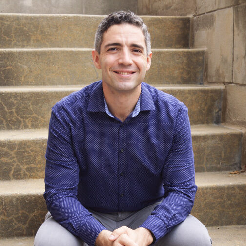
Panel Speaker
Bio: Dr. Aydin is an assistant professor at the departments of Earth and Atmospheric Sciences and Computer Science at Saint Louis University. He leads the AI-CHESS Lab at Saint Louis University. His research has a methodological focus on spatially and spatiotemporally explicit formulations of machine learning tasks applied to earth observation data. He works on graph-representations of spatial data for supervised, unsupervised and semi-supervised machine learning approaches. The thematic focus of his work is on computational planning for sustainability under uncertainty, design of geospatial sensor networks, natural hazard identification from Earth Observations, and geodesign planning at the food-water-waste-energy nexus.