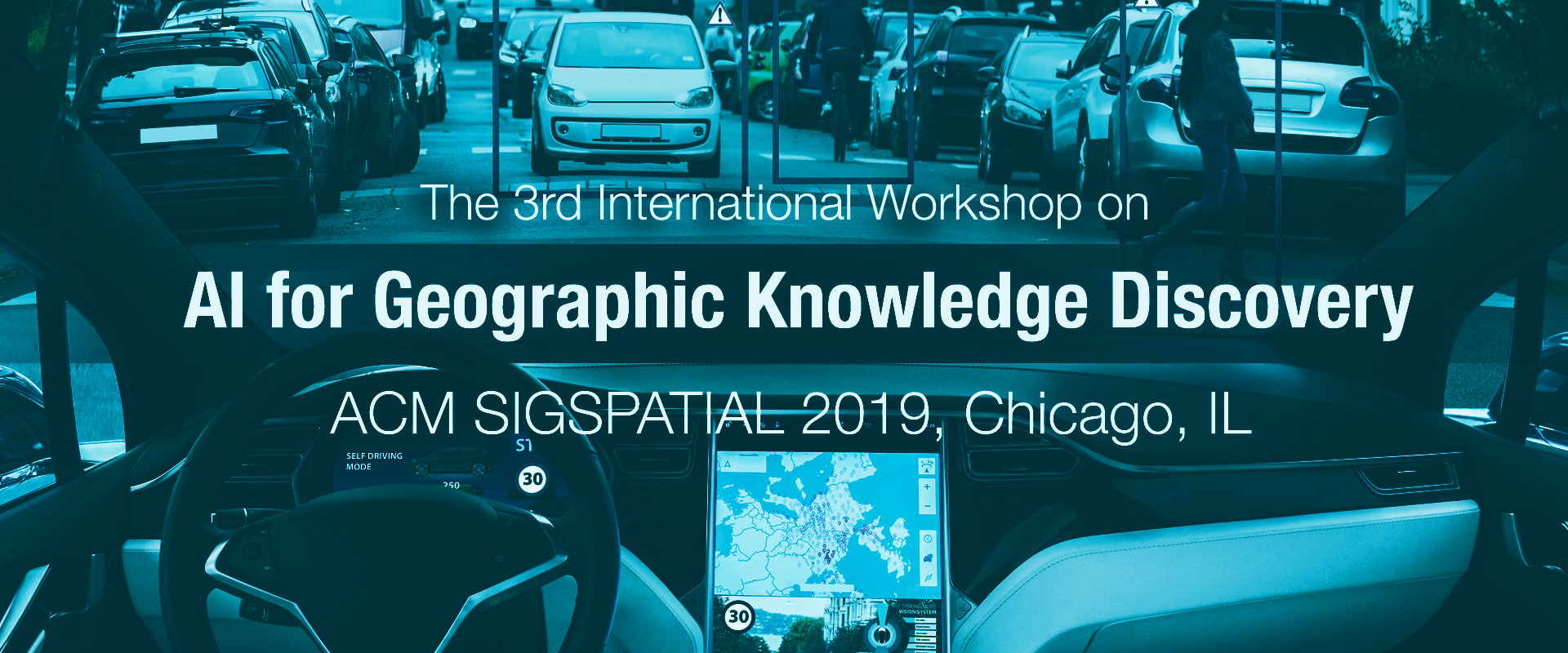
GeoAI@SIGSPATIAL 2019
Scope
The third series of GeoAI workshops will be held alongside SIGSPATIAL 2019, in Chicago, IL. GeoAI2019 aims to continue bringing together geoscientists, computer scientists, engineers, entrepreneurs, and decision makers from academia, industry, and government to discuss the latest trends, successes, challenges, and opportunities in the field of deep learning for geographical data mining, to provide actionable intelligence and power new geographic scientific discoveries. Through the workshop, attendees will be able to exchange the latest information on techniques and workflows used in artificial intelligence for spatial research. With a combination of geo-computational methods and geographic research, we invite you to join us at GeoAI2019.
We are inviting paper submission for the following categories:
- vision and position papers: 2 pages
- on-going academic and industry papers: 4 pages
- research papers and production ready papers: 8 -10 pages
The workshop will be interactive to engage in discussions, shape the research directions, and disseminate state-of-the-art solutions. Example topics include but not limited to:
- GIScience with artificial intelligence for earth sciences and sustainability;
- Artificial intelligence for public health and agricultural applications;
- Novel deep neural network architectures and algorithms for geographic information analysis;
- Artificial intelligence methods for object extraction (such as roads and buildings) from remote sensing images;
- Deep learning for geographic information extraction from text (e.g. social media, web documents, and news);
- Urban growth prediction and planning with machine learning methods;
- Artificial intelligence methods for autonomous transportation and high-precision maps;
- Unsupervised learning methods for large geographical scientific discoveries;
- Deep learning for disaster response and humanitarian applications;
- Human in the loop methods for enhancing deep learning applications;
- Distributed computing methods for large scale geocomputing;
- Novel training methods for large scale machine learning with geographical data;
- Fusion of geographic attributed datasets to improve model estimation
Program Schedule
08:00
09:00
Breakfast
09:00
09:05
Welcome and announcements
09:10
10:00
Keynote: HD Live Map for Automated Driving: An AI Approach,
Dr. Xin Chen from HERE Technologies
10:00
10:20
An Unsupervised Approach to Geographical Knowledge Discovery Using Street Level and Street Network Images
Stephen Law University College London London, UK
Daniel Mateo Neira Alvarez University College London London, UK
10:20
10:30
A Deep Learning Based Illegal Parking Detection Platform
Zhengcong Yin Texas A&M University
Haoyi Xiong University of Iowa
Xun Zhou University of Iowa
Daniel Goldberg Texas A&M University
Dave Bennett University of Iowa
Chong Zhang Environmental Systems Research Institute, Inc.
10:30
11:00
Coffee break
11:00
11:20
ChangeNet: Learning to Detect Changes in Satellite Images
Ying Chen Illinois Institute of Technology
Xu Ouyang Illinois Institute of Technology
Gady Agam Illinois Institute of Technology
11:20
11:40
Keras Spatial: Extending Deep Learning Frameworks for Preprocessing and On-The-Fly Augmentation of Geospatial data
Aiman Soliman University of Illinois at Urbana-Champaign
Jeffrey Terstriep University of Illinois at Urbana-Champaign
11:40
12:00
Assessing the Placeness of Locations through User-contributed Content
Xiaoyi Yuan George Mason University
Andrew Crooks George Mason University
12:00
12:20
Urban Flood Mapping with Residual Patch Similarity Learning
Bo Peng University of Wisconsin – Madison
Xinyi Liu University of Wisconsin – Madison
Zonglin Meng University of Wisconsin – Madison
Qunying Huang University of Wisconsin – Madison
12:20
02:00
Lunch (not provided)
02:00
02:50
Keynote: GeoAI: Geospatial AI for Monitoring Crops to Nuclear Proliferation Using Global Earth Observations, Professor Raju Vatsavai from North Carolina State University
02:50
03:00
A Machine Learning Approach to Estimate Median Income Levels of Sub-Districts in Thailand Using Satellite and Geospatial Data
Ugyen Jigten Dorji NECTEC, Thailand
Anon Plangprasopchok NECTEC, Thailand
Navaporn Surasvadi NECTEC, Thailand
Chaiyaphum Siripanpornchana NECTEC, Thailand
03:00
03:10
A Traffic Sign Discovery Driven System for Traffic Rule Updating
Tengfei Xing Didi Chuxing
Yang Gu Didi Chuxing
Zhichao Song Didi Chuxing
Zhihui Wang Didi Chuxing
Pengfei Xu Didi Chuxing
Runbo Hu Didi Chuxing
Hua Chai Didi Chuxing
03:10
03:20
City-level Geolocation of Tweets for Real-time Visual Analytics
Luke Snyder Purdue University
Morteza Karimzadeh University of Colorado Boulder
Ray Chen Purdue University
David Ebert Purdue University
03:20
03:30
Estimating the Spatial Resolution of Very High-Resolution Overhead Imagery
Haolin Liang University of California, Merced
Shawn Newsam University of California, Merced
03:30
04:00
Coffee break
04:00
04:10
Kartta Labs: Unrendering Historical Maps
Sasan Tavakkol Google Research, New York, NY
Yao-Yi Chiang Google Research, New York, NY
Tim Waters Waters Geospatial, Leeds, UK
Feng Han Google Research, New York, NY
Kisalaya Prasad Google, New York, NY
Raimondas Kiveris Google Research, New York, NY
04:10
04:20
Land Use Inference from Mobility Traces
John Krumm Microsoft Research, Redmond, WA
Kora Krumm Seattle Pacific University, Seattle, WA
04:20
04:30
Mapping Miscanthus Using Multi-Temporal Convolutional Neural Network and Google Earth Engine
Yanan Xin The Pennsylvania State University, University Park, PA
Paul R. Adler United States Department of Agriculture, Agricultural Research Service (USDA-ARS) University Park, PA
04:30
04:40
Multi-scale Graph Convolutional Network for Intersection Detection from GPS Trajectories
Yifang Yin National University of Singapore, Singapore
Abhinav Sunderrajan GrabTaxi Holdings, Singapore
Xiaocheng Huang GrabTaxi Holdings, Singapore
Jagannadan Varadarajan GrabTaxi Holdings, Singapore
Guanfeng Wang GrabTaxi Holdings, Singapore
Dhruva Sahrawat National University of Singapore, Singapore
Ying Zhang National University of Singapore, Singapore
Roger Zimmermann National University of Singapore, Singapore
See-Kiong Ng National University of Singapore, Singapore
04:40
04:50
STIETR: Spatial-temporal Intelligent E-Taxi Recommendation System Using GPS Trajectories
Ke Mei Shenzhen University
Wei Tu Shenzhen University
Qingquan Li Shenzhen University
Haoyu Ye Wuhan University
Tianhong Zhao Shenzhen University
Yatao Zhang Wuhan University
04:50
05:00
Contextualizing Space and Time for GeoAI JITAIs (Just-in-Time Adaptive Interventions)
Jiue-An Yang UC San Diego, San Diego, CA
Marta Jankowska UC San Dieo, San Diego, CA
05:00
05:10
Imitation Learning from Human-Generated Spatial-Temporal Data (Vision Paper)
Yanhua Li Worcester Polytechnic Institute, USA
Weixiao Huang Worcester Polytechnic Institute, USA
05:10
—
Wrap up discussion – Future Direction and Collaboration Opportunities
Final Paper Submission Guidelines
Full research papers should present mature research on a specific problem or topic in the context of AI for geospatial problems. Short research articles or industry demonstrations of existing or developing scalable methods, toolkits, and best practices for AI applications in the geospatial domain are also invited. Vision or position papers noting future directions or an overview of grand challenges for AI technology in geospatial applications are also welcome. All submitted papers will be peer reviewed to ensure the quality, clarity and relevance of the solicited work.
Manuscripts should be formatted using the ACM camera-ready templates available at http://www.acm.org/publications/proceedings-template.
Accepted papers will be considered for “Best Paper Award.”
Important Dates
Paper submission deadline extended: September 6th, 2019,11:59PM (PDT)
Acceptance decision: September 27, 2019
Camera ready version: October 4, 2019
Workshop date: November 5, 2019
Workshop Venue
The GeoAI’19 workshop will be co-located with the 27th ACM SIGSPATIAL Conference in Chicago, USA. More details on the conference venue and registration process, please visit: https://sigspatial2019.sigspatial.org/
Organizers
 Shawn Newsam
Associate Professor of Electrical Engineering & Computer Science and a Founding Faculty member at the University of California, Merced, USA
 Song Gao
Assistant Professor in GIScience, at the University of Wisconsin, Madison, USA
 Dalton Lunga
A Geospatial Image Analysis and Machine Learning Scientist at Oak Ridge National Laboratory, USA
 Yingjie Hu
Assistant Professor of GIScience, University at Buffalo, New York, USA
 Budhendra Bhaduri
Director, National Security Emerging Technologies Division at Oak Ridge National Laboratory, USA
 Bruno Martins
Assistant Professor, University of Lisbon.
 Xun Zhou
Assistant Professor for Business Analytics, Tippie College, University of Iowa
 Liang Zhao
Assistant Professor for spatiotemporal data mining, George Mason University
 Feng Chen
Associate Professor for event and pattern detection in network data, University at Albany, SUN
Program Committee
Benjamin Adams, University of Canterbury
Orhun Aydin, Esri
Benjamin Bischke, German Research Center for AI
Arnold Boedihardjo, Radiant Solutions
Petko Bogdanov, University at Albany – SUNY
Damian Borth, University of St. Gallen
Guido Cervone, Pennsylvania State University
Dengfeng Chai, Zhejiang University
Yao-Yi Chiang, University of Southern California
Yanjie Fu, Missouri University of Science and Technology
Jing Gao, University at Buffalo
Jonathan Gerrand, Witwatersrand University
Shahriar Hossain, University of Texas, El Paso
Zhe Jiang, University of Alabama
Asanobu Kitamoto, Japan National Institute of Informatics
Kuldeep Kurte, Oak Ridge National Laboratory
Xiaojiang Li, Temple University
Yanhua Li, Worcester Polytechnic Institute
Wenwen Li, Arizona State University
Tao Liu, Oak Ridge National Laboratory
Grant McKenzie, McGill University
Volpi Michele, Swiss Data Science Center, ETH Zurich/EPFL
Ray Dos Santos, Army Research Engineering Corp.
Steven Schockaert, Cardiff University
Gautum Thakur, Oak Ridge National Laboratory
Devis Tuia, Wageningen University and Research
Wei Wang, Microsoft Research
Hong Wei, University of Maryland, College Park
Lingfei Wu, IBM Watson
Yinghui Wu, Washington State University
Hsiuhan(Lexie) Yang, Oak Ridge National Laboratory
Junsong Yuan, University at Buffalo
Fan Zhang, MIT Senseable City Lab
Chao Zhang, Georgia Tech
Xuchao Zhang, NEC Lab
Di Zhu, Peking University
Xiaojin (Jerry) Zhu, University of Wisconsin, Madison
Please contact Song Gao or Shawn Newsam.